
Althayingen – A Fortifications of Several Parts in the Lauter Valley
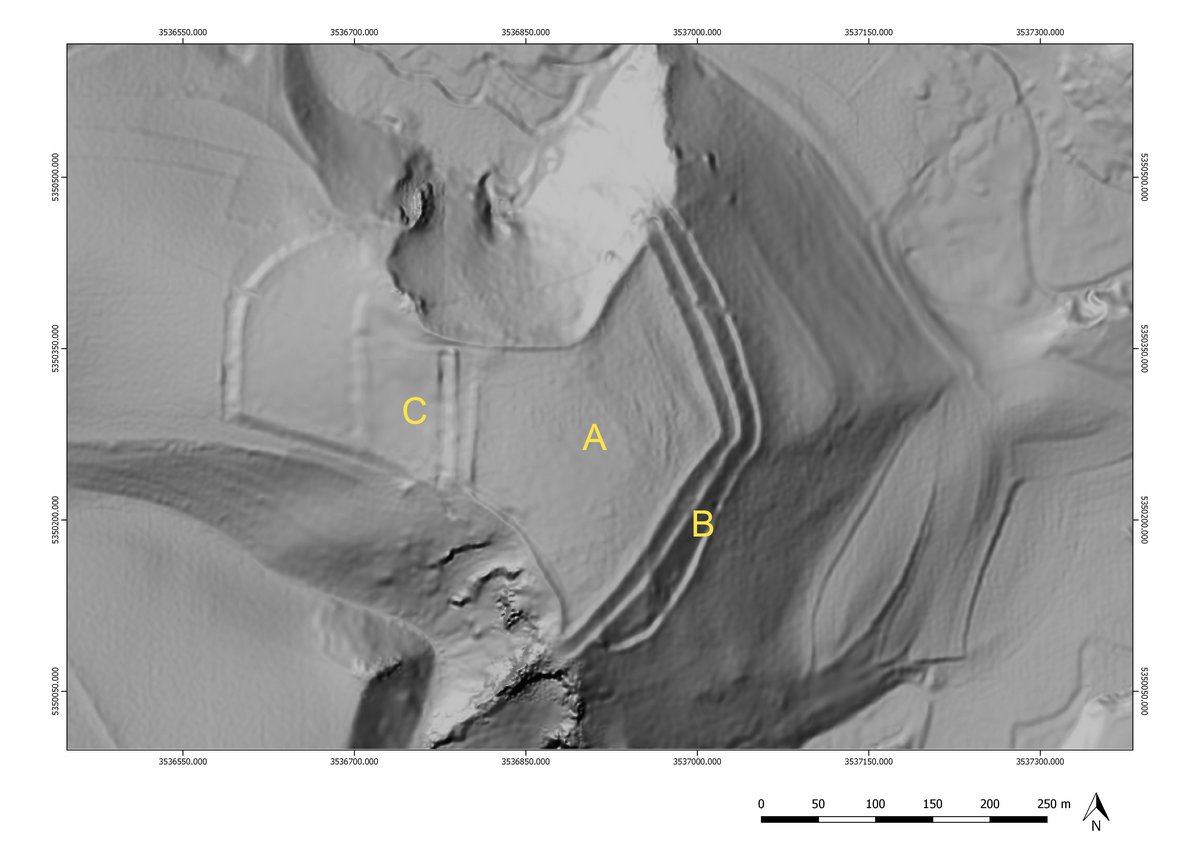
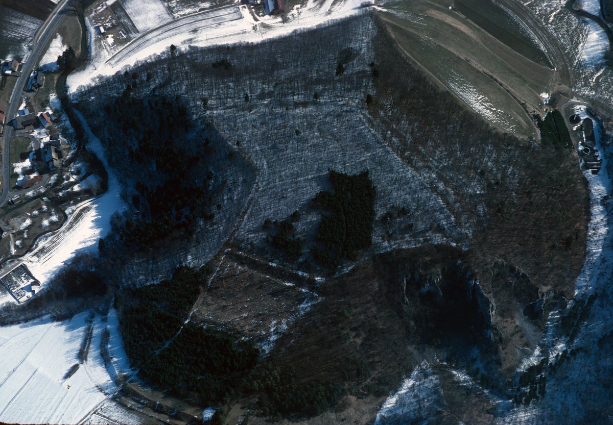
A little south of Indelhausen, hidden in the forest on a spur projecting eastwards towards the Große Lauter at 670m above sea level, lies the extensive fortification of Althayingen. The fortification is divided into two zones; an approximately 3-hectare foreground and a 4.3-hectare core complex, with two rampart-ditch systems in the east. In 1937, several stone deposits were investigated in the southern part of the plateau, which were interpreted as burial mounds due to the occurrence of Early Celtic metal finds. However, the pottery discovered, which dates to both the Hallstatt and Early La Tène periods of the Iron Age, is more indicative of settlement than burial activity.
Following new geomagnetic measurements, terrain scans and site inspections, interesting structures were revealed and finds recorded, mainly in the area of the core complex. In 2021 several excavation sections were laid out as part of a teaching excavation in cooperation with the Gesellschaft für Archäologie in Württemberg und Hohenzollern e.V. (Society for Archaeology in Württemberg and Hohenzollern). These demonstrated that the Althayingen was settled, and very probably also fortified, in the Hallstatt period.
Below the plateau, on the steep southern slope, lies the Gerberhöhle (Tanners' Cave), where Bronze Age and La Tène period finds have been made.
References: Morrissey/Müller 2011.