
As far as the eye can see - The Heuneburg Outer Settlement

In its heyday in the first half of the 6th century BC, the Heuneburg’s outer settlement, covered an area of more than 100 hectares. It extended beyond the Heuneburg to the north, west and south. Recent investigations have shown that this was a relatively densely built-up settlement area. Various wall-ditch systems divided the outer settlement into smaller settlement districts, in which several fenced-in farmsteads up to 1.5 hectares in size were arrayed next to each other.
In 1954 excavations investigating the burial mounds of the Gießübel-Talhau necropolis, located about 250m north-west of the Heuneburg’s lower town, confirmed the existence of an outer settlement for the first time. The remains of the outer settlement had been well preserved under the burial mounds. Between 1995 and 2006, intensive site inspections, exploratory excavations, soil probes, LIDAR evaluations and geomagnetic measurements led to the realisation that the outer settlement had a north-south extension of over 2km in length and a total area of over 100 hectares. It is estimated that between 4,000 and 5,000 people may have lived simultaneously in the Heuneburg’s upper and lower towns as well as in the outer settlement during the zenith of the site. The outer settlement was abandoned around 530BC and the four burial mounds in Gießübel-Talhau were built over it shortly afterwards.
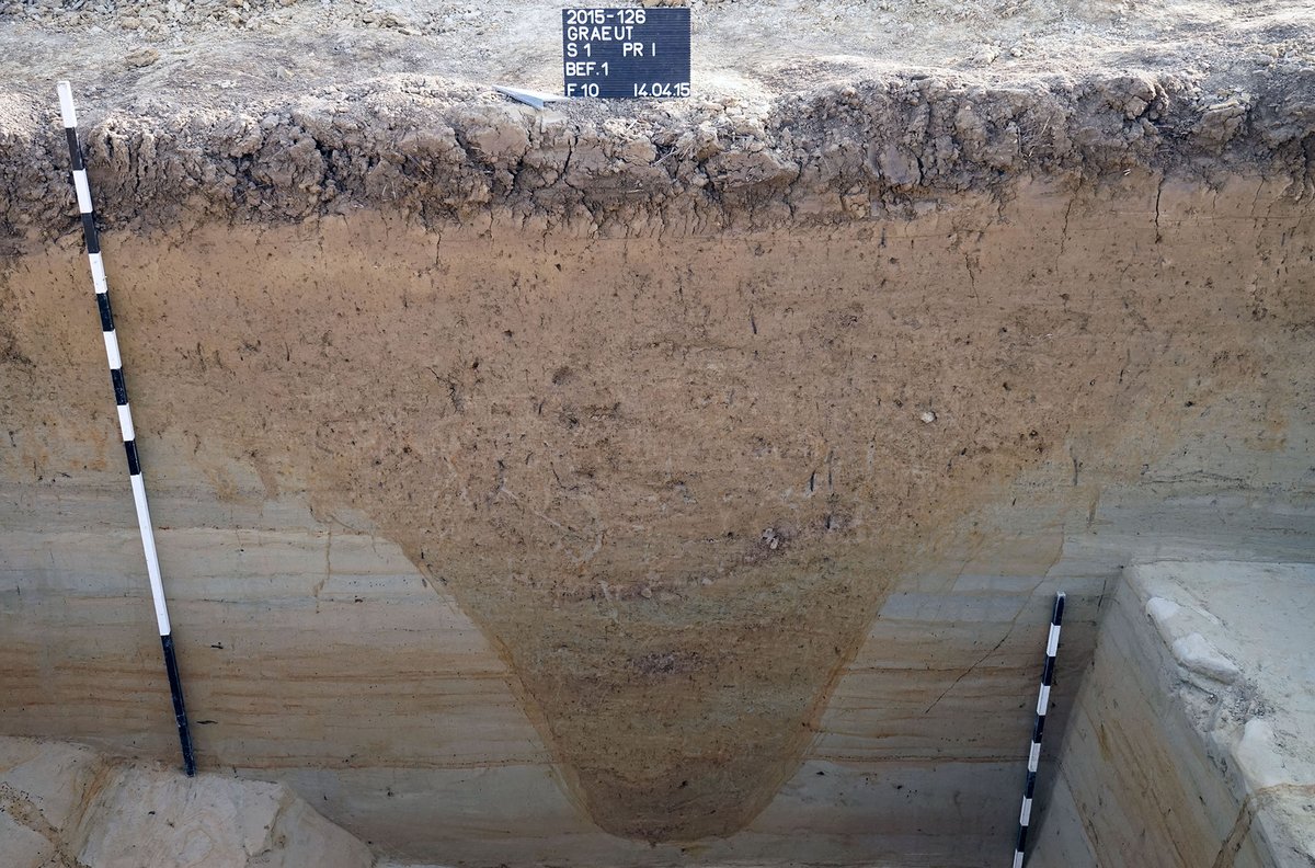
In 2015 an excavation cut was made in the area of the presumed boundary of the outer settlement to the north. It revealed a 2.2m deep pointed ditch with Hallstatt period finds. Since 2021, excavations have again taken place in the area of the outer settlement in order to gain further insights into its internal structure and the chronological sequence of the building features.
References: Kurz 2000; Kurz 2007a; Hansen et al. 2015a; Krausse et al. 2019a.